-
Q. What do I need to run GPS Google Earth?
-
A. Haven't installed Google Earth?
Go to http://www.google.com/intl/us/earth/index.html and download the latest Google Earth. Double click the application to begin installation.
*You may not be able to download with Internet Explorer 7. In such a case, install Google Inc.'s browser - Google Chrome - and then download Google Earth.
Please inquire Google Inc. about details on how to use Google Earth.
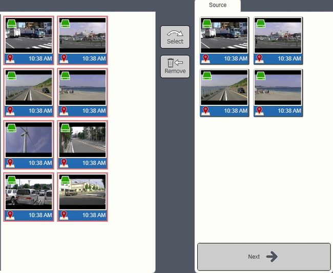
1. Select files
Video and photo files that contain location information are marked with the GPS icon on the bottom left corner of their thumbnails.
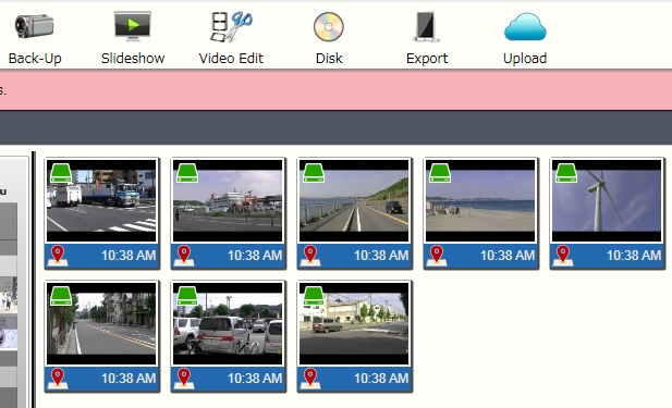
※Files without location information will not be displayed in calendar tray.
Please refer to No.12
2. Select a file and click on the <Playback> or <Next> button.
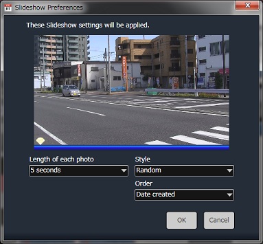
3. Adjust settings on the <Slideshow Settings> window. Refer to “7-1. Full-Screen Playback” section for details. Click <OK> once you have finished.
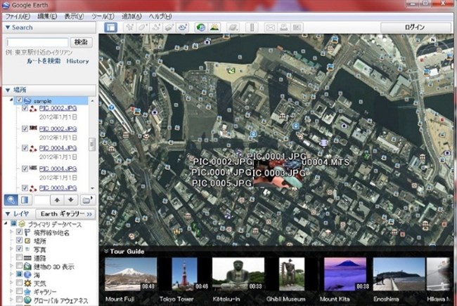
4. Google Earth will activate automatically and will display information on the recording location.
5. As videos and photos proceed to play with LoiLoFit for Everio, Google Earth displays the recording location information for each file.
Click on thebutton on LoiLoFit for Everio’s preview screen to proceed with preview to the next video or photo. Google Earth will also proceed to the location that is associated with the video or photo that is currently being displayed.
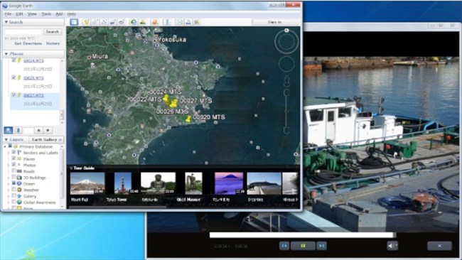
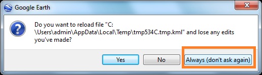
Once Google Earth is activated, a message to the right will appear every single time a new video or photo starts to be previewed on LoiLoFit for Everio. If you click “Always Run”, the message will no longer be displayed.
6. Save
The map data(kmz)file viewed on Google Earth can be saved with LoiLoFit for Everio.
Click on theicon at the top of the screen to save.
Save the file as map data (kmz) format, name the file and clickbutton to complete saving.
※Click <File> → <Option Settings> → <Other>→ <Map File Settings>>
If you check in the <Use GPS Video tracking> box, GPS tracking information recorded within the video will be saved as map data.
If you uncheck this box, only the starting location of the video will be saved.
Refer to the paragraph below to learn on how to view map data (kmz) file that contains GPS tracking information. Please inquire Google Inc. for some more information on how to use Google Earth.
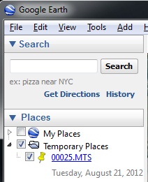
7. View KMZ data saved on Google Earth
※Please inquire Google for details on how to use Google Earth.
1. In Google Earth, click onin menu.
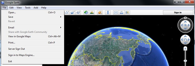
2. Select the data file from its saved location and click

3. Data appears under. Click the button and the application will move to the location on map where the file was recorded.
4. Double-clicking the name of data in, Google Earth will move to the location on map where the file was recorded.
5. Select the data that has three red buttons icon in front of its name. Click on, so that the application would proceed according to the original route.

Global